- Ohře Bike Trail


The first pleasant place to stop is the spa town of Bad Weißenstadt with its popular Weißenstädter See lake. Here you can enjoy a moment of relaxation by the water, grab a bite to eat at one of the local cafés or restaurants, or take a short stroll through the historic center.
The bike path then leads you through Franconian countryside into the valley and on to Röslau. Here, the newly renovated park in Egerauen invites you to stop. Just a short distance north of the village, the Zwölfgipfelblick viewpoint opens up. It will reward you with impressive views of the Fichtelgebirge Mountains and the surrounding plateaus, reminding you of the diverse landscape you are currently cycling through.
From Röslau, the bike path continues to Marktleuthen and on past former hammer mills through the picturesque Wellerthal valley to Hohenberg an der Eger. Even from a distance, you’ll be greeted by a massive castle that has towered over the landscape since 1222. At the Carolinenquelle spring, you can recharge your energy with healing water before the final stretch, which will take you through Fischern all the way to Cheb.
In Cheb, you will have completed the first 60 kilometers of the Eger Cycle Route. Ahead of you lies one of the most beautiful historic towns in western Bohemia, with a unique atmosphere and history that you can feel at every step. After a full day of cycling, you can treat yourself to a well-deserved rest here, sit in the square, stroll through the picturesque streets of the old town, and soak up the magic of a place where paths, people, and cultures have converged for centuries.
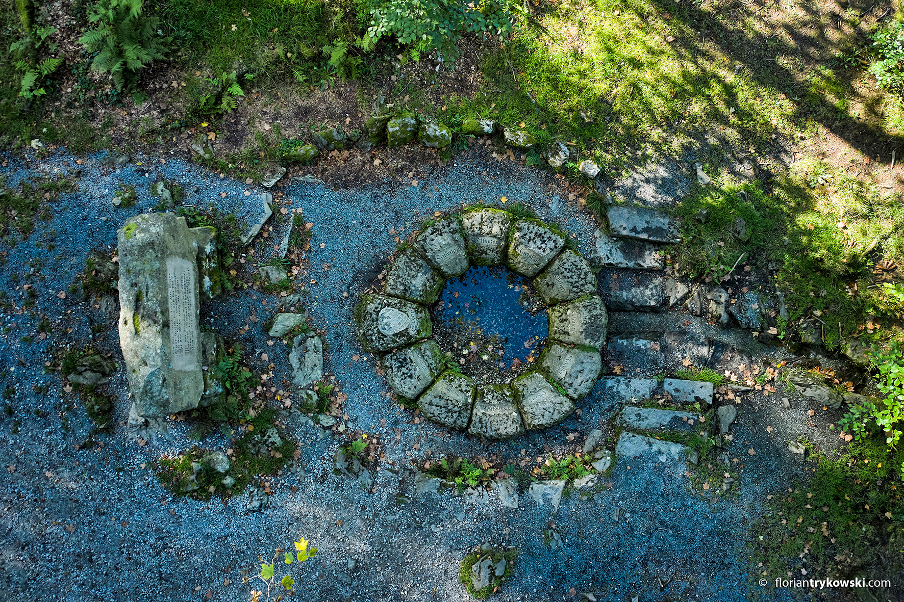
The source of the Eger River is located at an elevation of 752 meters at the northwestern foot of Schneeberg (1,051 meters), the highest peak in the Smrčiny Mountains.
The...
Show more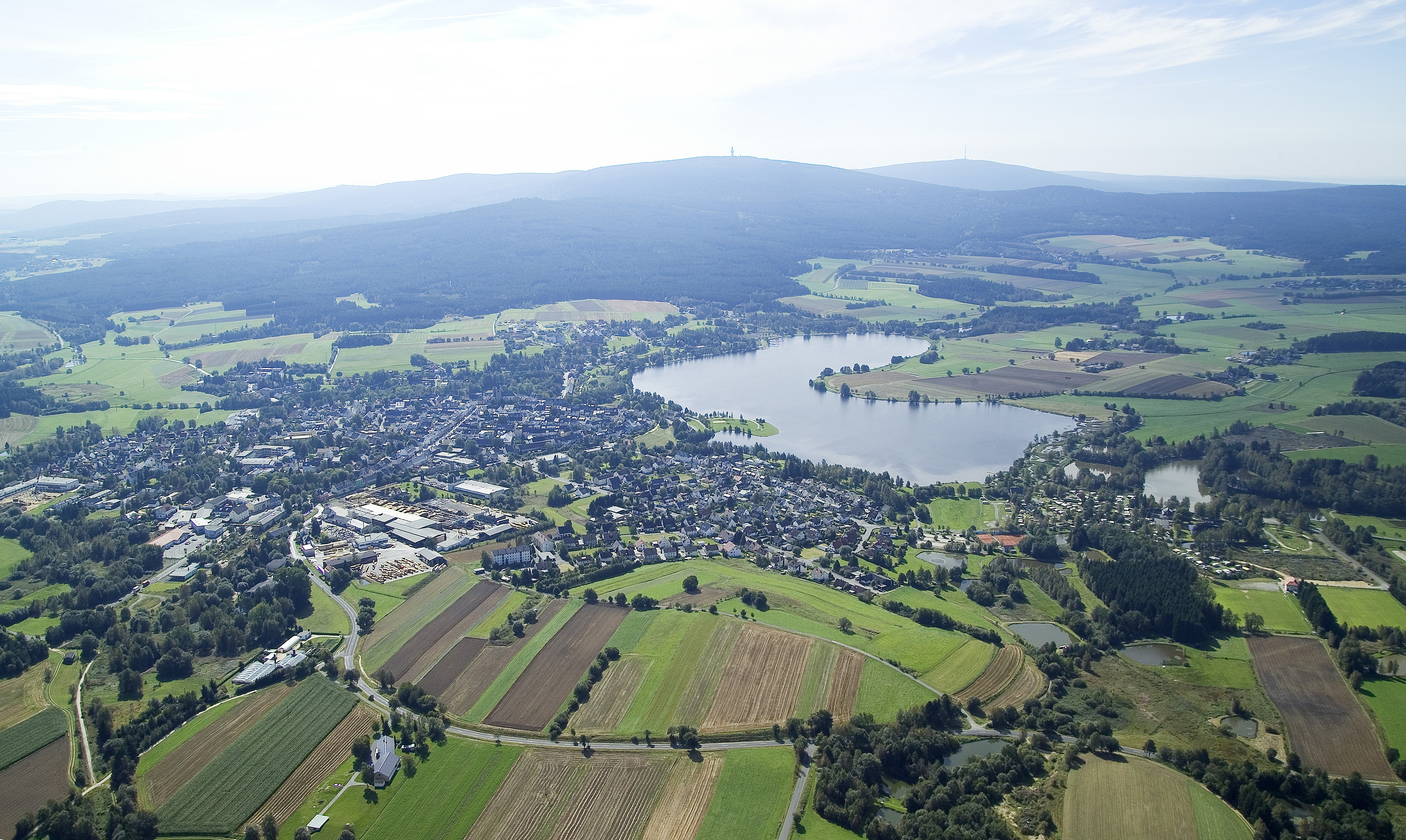
Bad Weißenstadt is located in a picturesque valley within the Fichtelgebirge Nature Park, just a short distance from the source of the Eger River, in the traditional spa region of...
Show more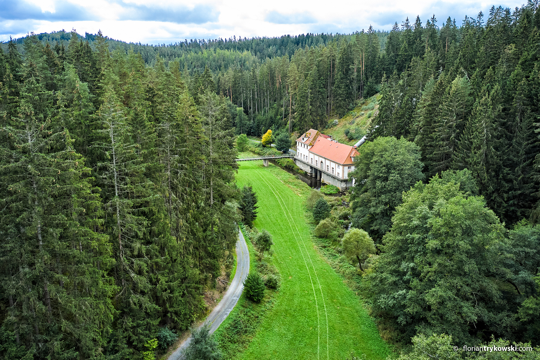
The Wellertal Valley, with its granite formations and the lively river rushing through it, is likely the most picturesque stretch of the upper Eger River. For decades, it has been...
Show more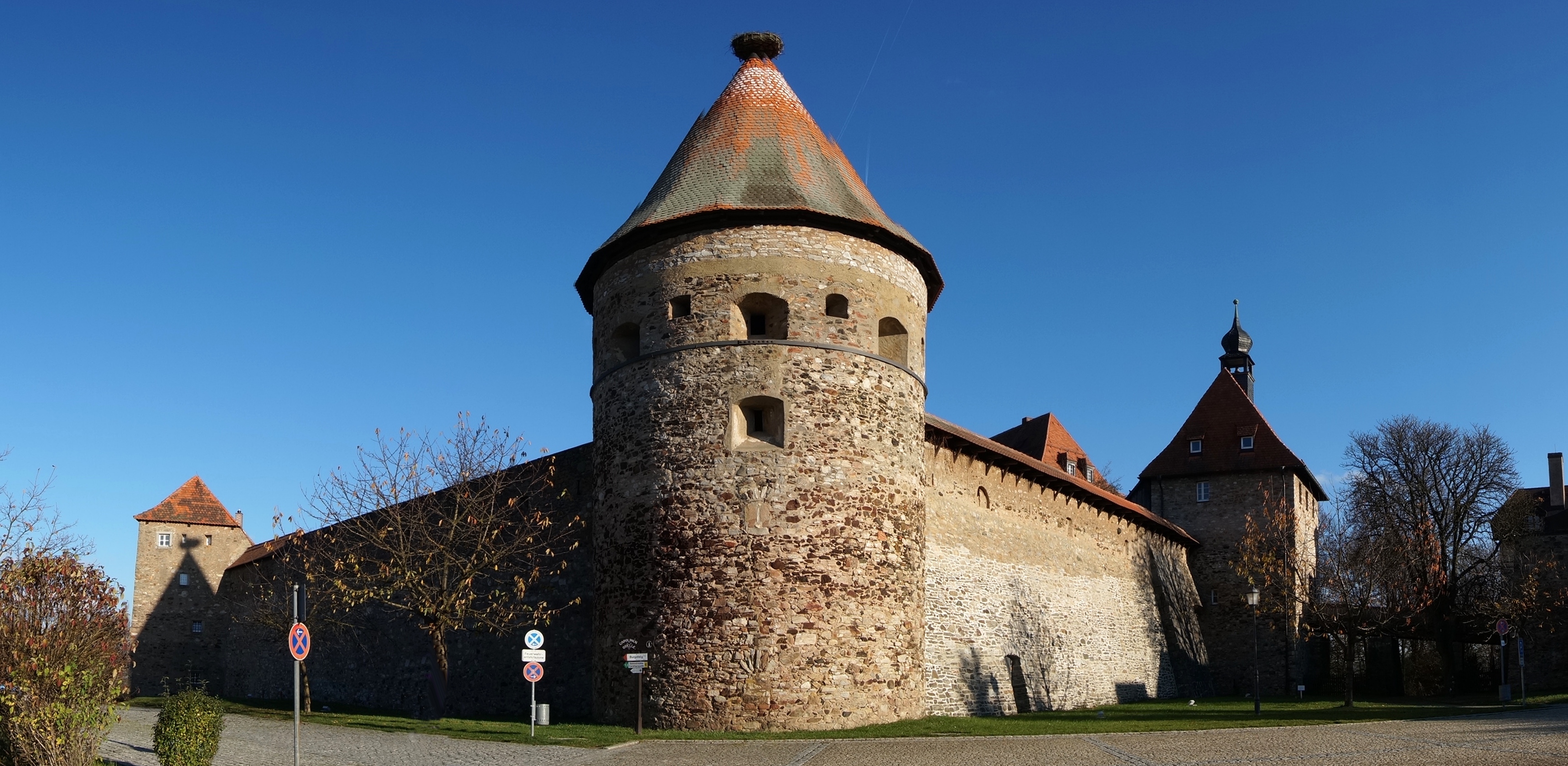
Hohenberg Castle is situated on a steep granite cliff directly above the Eger (Eger) River, just before the Czech border near Pomezí, in the historic border region of Smrčiny. Hohenberg...
Show more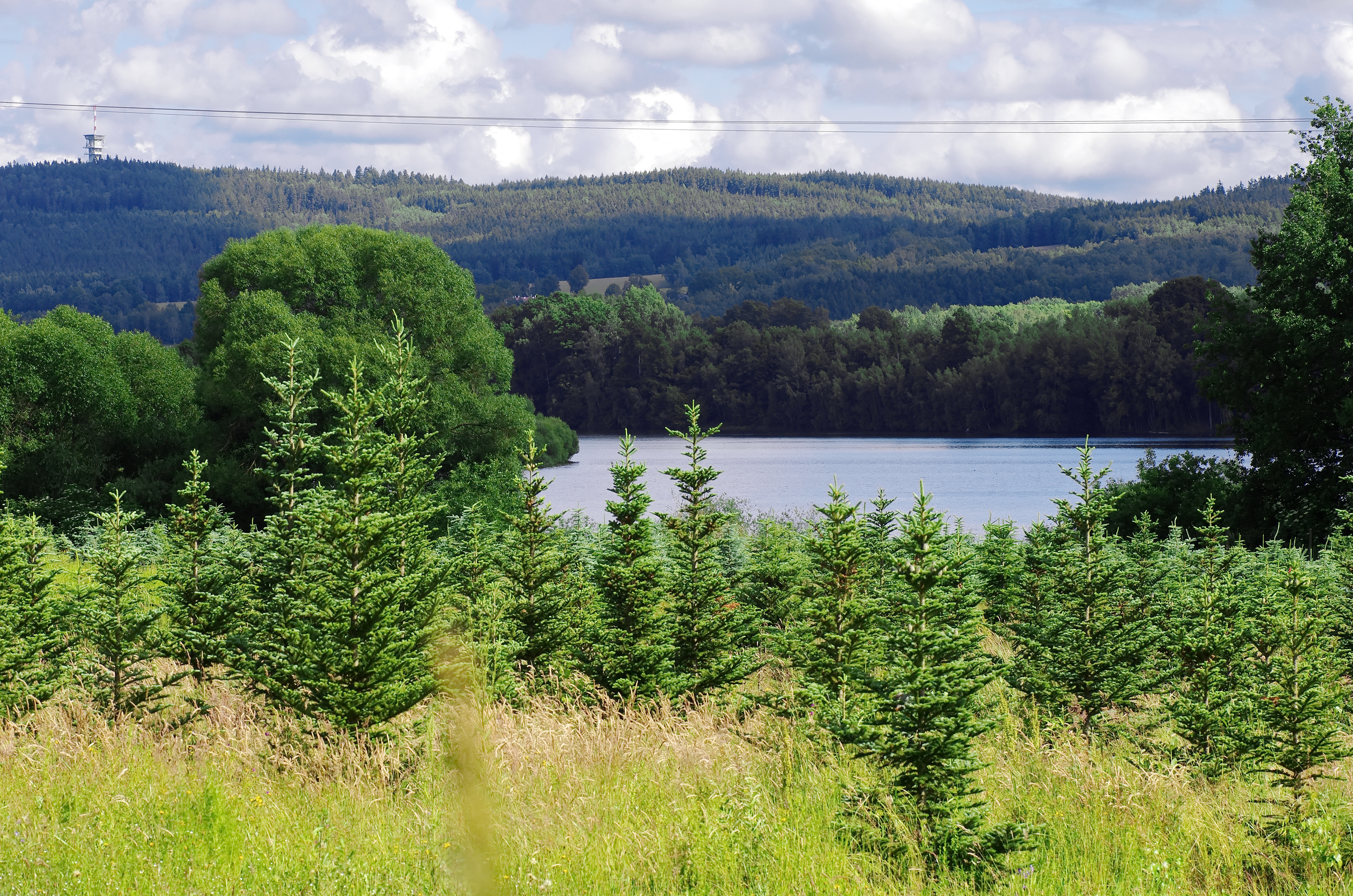
The Skalka Reservoir is located in the flat, densely forested valley of the Eger River, right on the western edge of the city of Cheb, just a short distance from...
Show more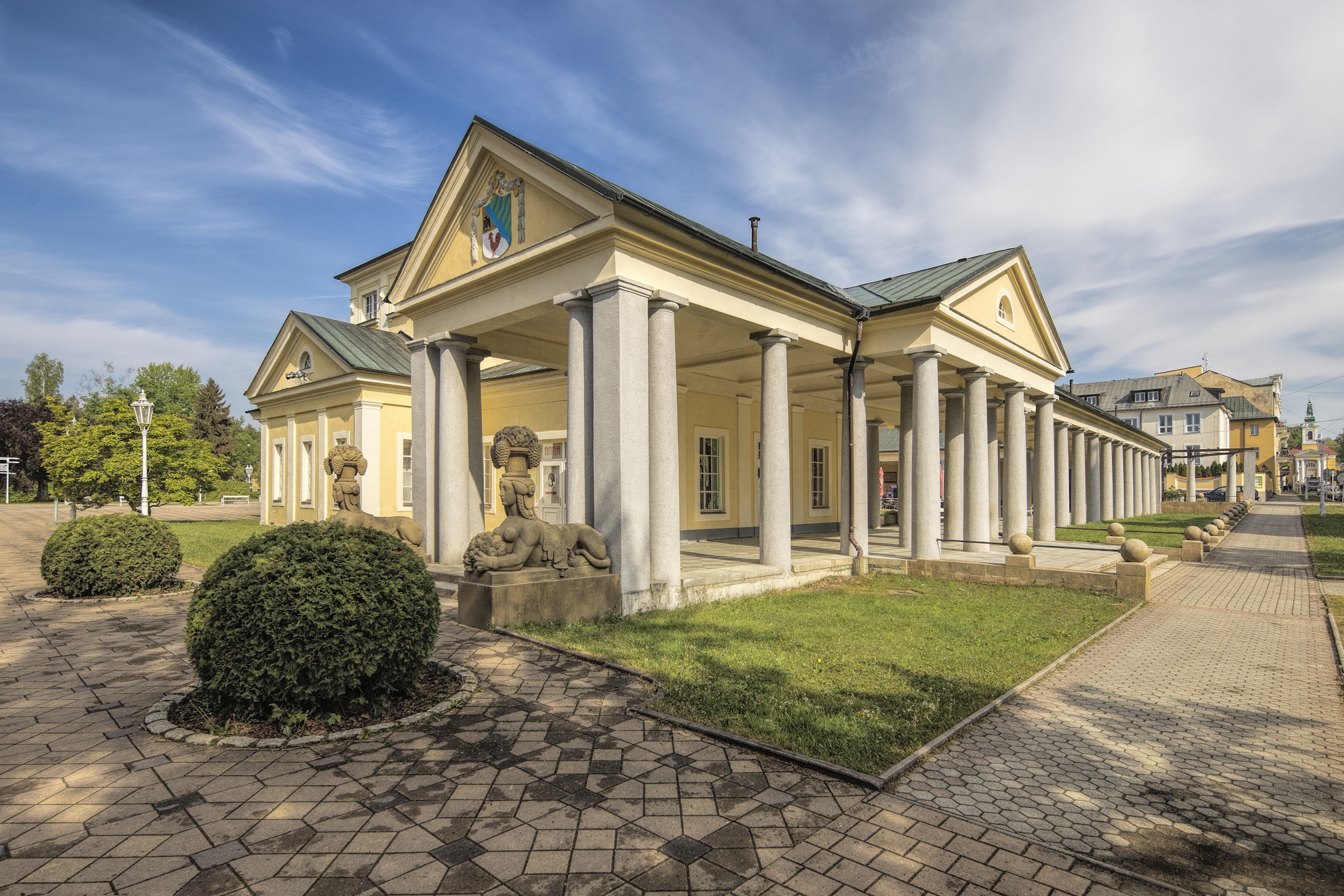
Františkovy Lázně is located in the Cheb Basin, just a few kilometers from the Eger Bike Trail, in the picturesque countryside of western Bohemia, as part of the famous spa...
Show more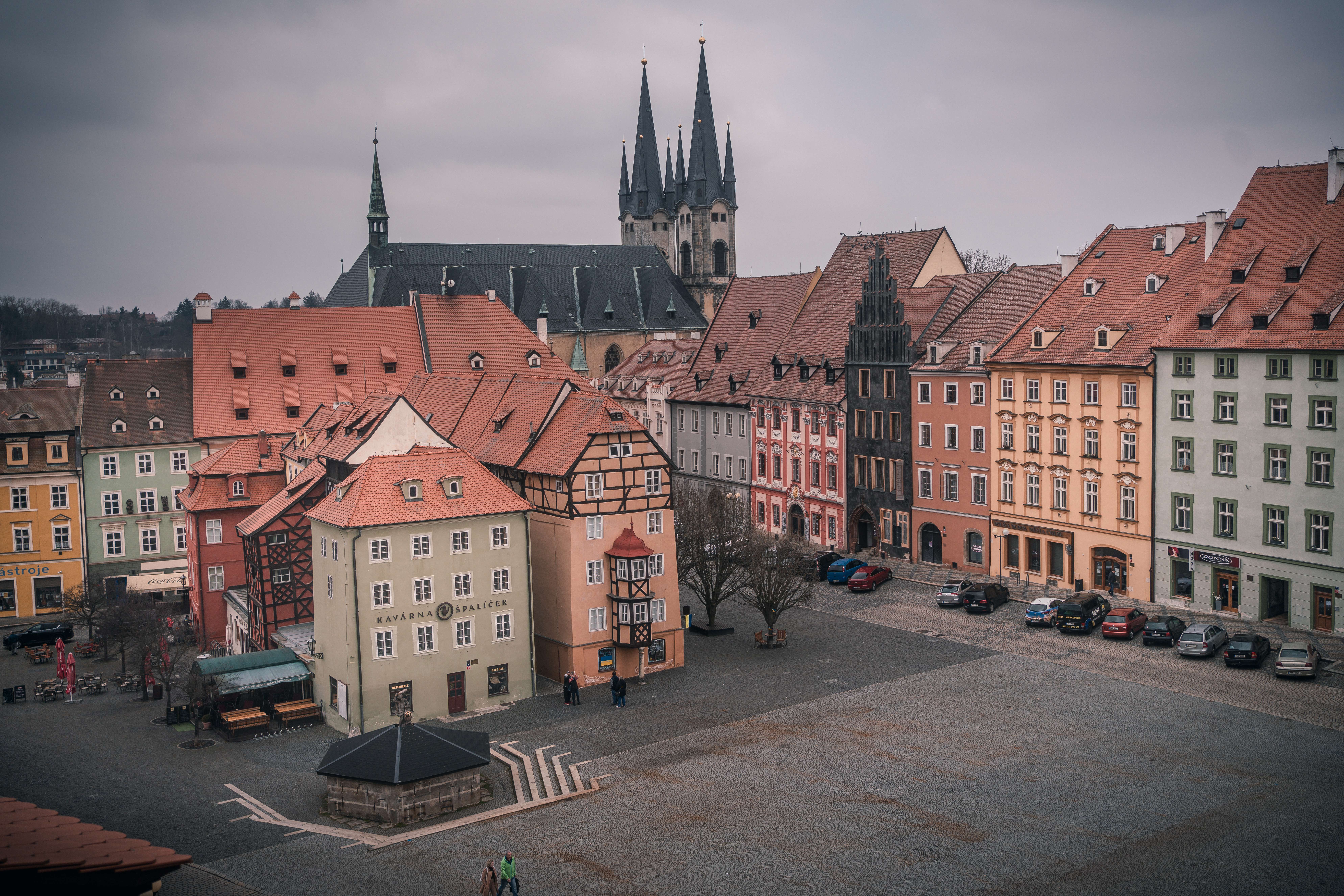
Cheb will charm you with its historic atmosphere and unique landmarks. On King George of Poděbrady Square, you’ll be greeted by the iconic Špalíček—a unique cluster of medieval merchant houses...
Show more